-

Argentina
-

Australia
-

Austria
-

Bangladesh
-

Belgium
-

Bhutan
-

Brazil
-

Bulgaria
-

Cambodia
-

Canada
-

China
-

Croatia
-

Czechia
-

Denmark
-

Estonia
-

Finland
-

France
-

Germany
-

Greece
-

Hong Kong
-

Hungary
-

India
-

Indonesia
-

Iran (Islamic Republic of)
-

Ireland
-

Israel
-

Italy
-

Japan
-

Lao People's Democratic Republic
-

Luxembourg
-

Malaysia
-

Mexico
-

Morocco
-

Myanmar
-

Netherlands
-

New Zealand
-

Nigeria
-

Norway
-

Oman
-

Pakistan
-

Philippines
-

Poland
-

Portugal
-

Qatar
-

Republic of Korea
-

Romania
-

Russian Federation
-

Serbia
-

Singapore
-

Slovakia
-

Slovenia
-

South Africa
-

Spain
-

Sri Lanka
-

Sweden
-

Switzerland
-

Taiwan
-

Thailand
-

Turkey
-

United Arab Emirates
-

United Kingdom
-

United States of America
-

Vietnam
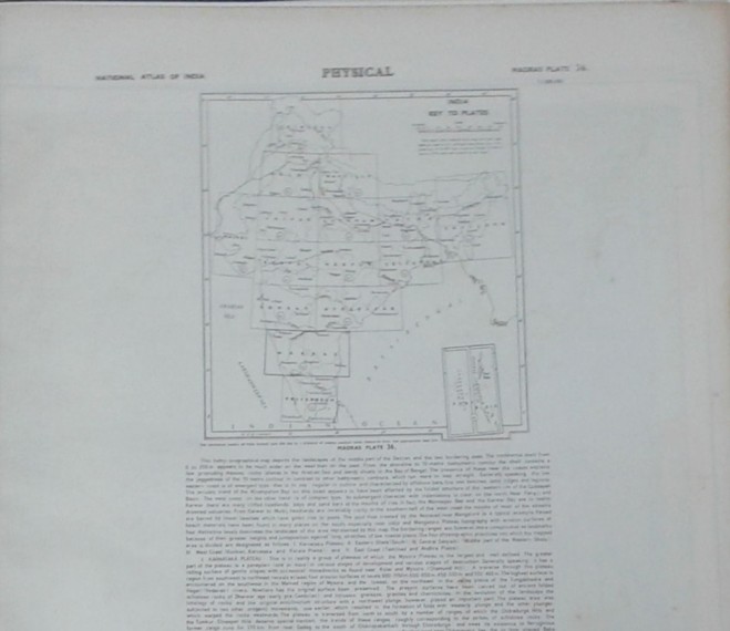
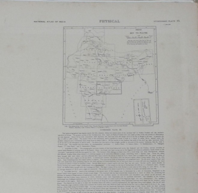
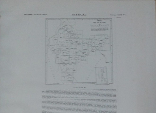
National Atlas of India: Physical, Aravalli Range, Bundelkhand Uplands, North Bihar Plains, Bengal Basin, Maharashtra
National Atlas of India: Physical, Aravalli Range, Bundelkhand Uplands, North Bihar Plains, Bengal Basin, Maharashtra
Plateau, Dandakaranya, Eastery Ghats, Sahyadri, Purvachal, India Physiographic Regions, Morphochronology, Relative Relief, Slope, Soil Cover, Rocks & Minerals, Soil Texture, Soil Reaction, Palaeogrography,
USD -
 Standard Delivery
10 - 14 days
USD$ -
| PUBLISHER: | |
| ISBN: | |
| AUTHOR | Survey of India Maps & State Government Pub. |
| RELEASED | 2020-5-17 |
| Calcutta, 1980 | |
| WL CODE | N1369/2 |
| SIZE | 37 plates, chart in col, 510 x 590 mm |
| BOOK WEIGHT | 3.300 Kg |
| PACKING WEIGHT | 0.200 Kg |
RECOMMENDED CATEGORIES
OTHER BOOKS
Other books you might be interested in.


 Books by Category
 Back
Back


 ADD TO CART


