


 Books by Category
 Back
Back

-

Argentina
-

Australia
-

Austria
-

Bangladesh
-

Belgium
-

Bhutan
-

Brazil
-

Bulgaria
-

Cambodia
-

Canada
-

China
-

Croatia
-

Czechia
-

Denmark
-

Estonia
-

Finland
-

France
-

Germany
-

Greece
-

Hong Kong
-

Hungary
-

India
-

Indonesia
-

Iran (Islamic Republic of)
-

Ireland
-

Israel
-

Italy
-

Japan
-

Lao People's Democratic Republic
-

Luxembourg
-

Malaysia
-

Mexico
-

Morocco
-

Myanmar
-

Netherlands
-

New Zealand
-

Nigeria
-

Norway
-

Oman
-

Pakistan
-

Philippines
-

Poland
-

Portugal
-

Qatar
-

Republic of Korea
-

Romania
-

Russian Federation
-

Serbia
-

Singapore
-

Slovakia
-

Slovenia
-

South Africa
-

Spain
-

Sri Lanka
-

Sweden
-

Switzerland
-

Taiwan
-

Thailand
-

Turkey
-

United Arab Emirates
-

United Kingdom
-

United States of America
-

Vietnam
Decorative Printed Maps of the 15th to 18th Centuries
SIMILAR BOOKS
Show All
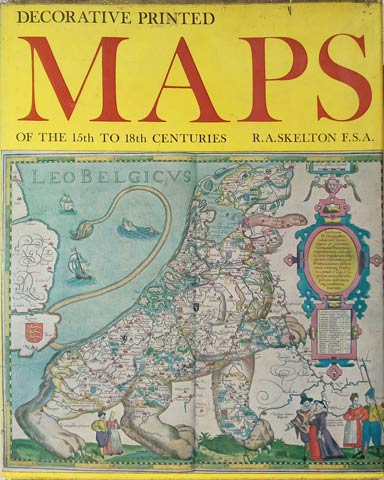


Decorative Printed Maps of the 15th to 18th Centuries
- By: Skelton, R. A.
A Revised Edition of Old Decorative Maps and Charts by A. L. Humpheys
USD 129.00
 ADD TO CART
 Standard Delivery
10 - 14 days
USD$ -
| PUBLISHER: | |
| ISBN: | |
| AUTHOR | Skelton, R. A. |
| RELEASED | 2006-03-18 |
| London, 1966 | |
| WL CODE | R3956 |
| SIZE | 170 pp., 71 maps, 11 in col. maps, 225 x 285 mm |
| BOOK WEIGHT | 1.480 Kg |
| PACKING WEIGHT | 0.200 Kg |
RECOMMENDED CATEGORIES


OTHER BOOKS
Other books you might be interested in.
JUST IN CASE
We save it for you. These are books you just viewed.
